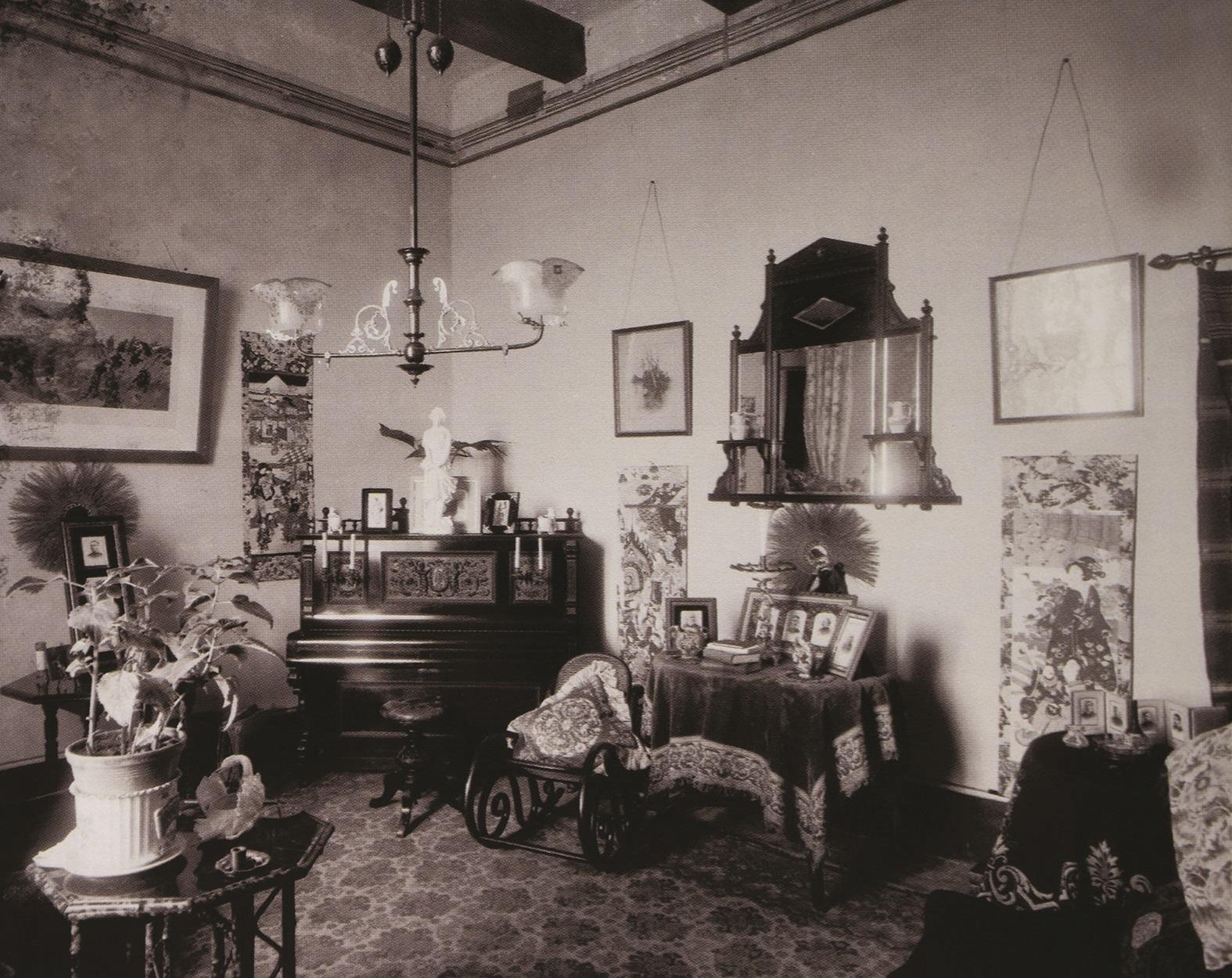
Early photographs of interiors of buildings in Malta, especially private homes, turn out to be relatively rare. One reason for this may be that, up to the first quarter of the 20th century, photography then relied on slow, light-sensitive emulsion and required abundant light, available only outdoors or, alternatively, long exposures by a camera stabilised […]

Malta’s architectural landmarks form a journey through the islands’ exciting past as each building – from the prehistoric temples to the grand Baroque churches – is a “witness in stone” keeping history alive.

I monumenti architettonici di Malta formano un viaggio attraverso il passato eccitante delle isole poiché ogni edificio – dai templi preistorici alle grandi chiese barocche – è un “testimone in pietra” che mantiene viva la storia.

La visite des monuments architecturaux de Malte est un voyage à travers l’histoire diverse et passionnante des îles maltaises. Chaque bâtiment historique étant la preuve du passé fascinant de Malte.

Maltas Architektonische Bauweise bietet eine aufregende Reise durch die Vergangenheit der Insel – von den vorgeschichtlichen Tempeln bis zu den großen Kirchen der Barock Zeit – der „Zeuge in Stein“ lässt die historische Vergangenheit am Leben.

According to orthodox archaeologists, the remains of bones, fragments of pottery, and marks of fire indicate that human beings have lived in Malta since at least 5200 BC.

Située à 80 kilomètres au sud de la Sicile et à 370 kilomètres à l’est de la côte tunisienne, l’île de Malte semble avoir été peuplée pour la première fois pendant la période Néolithique par une vague d’immigrants venant de Sicile. Cependant, cette colonisation néolithique est fortement remise en question par de nouvelles recherches qui […]
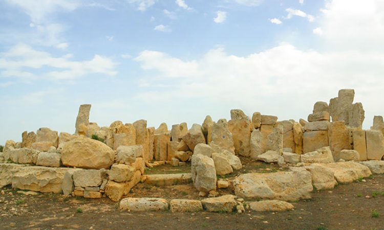
Situated 80 kilometres south of Sicily and 370 kilometres east of the Tunisian coast, the island of Malta appears to have been first settled during the early Neolithic period by a wave of immigrants from Sicily.
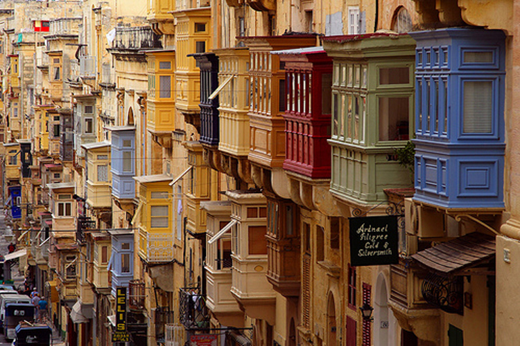
In addition to the sacred role of the Hagar Qim and Mnjadra temples, Mnajdra also seems to have served as an astronomical observation post, marking the solstices and the seasons through the position of the sun.
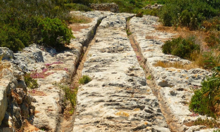
The formation and function of cart ruts form part of the most intriguing problems in Maltese archaeology.

Bien qu’on puisse les trouver dans tous les endroits où la roche est exposée sur l’île, peu de gens connaissent l’existence des « Cart-Ruts » (traces de charrues), et encore moins essayèrent d’étudier leur place dans l’histoire maltaise. En effet, bien que l’intérêt pour ces caractéristiques rocheuses ait été documenté depuis le XVIIe siècle, aucune […]
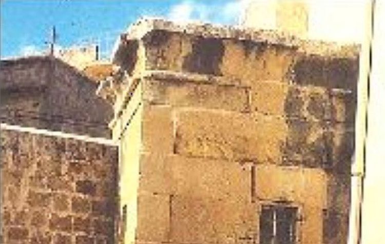
Malta’s highest archaeological remains attributed to the Phoenician period are found in the garden of the parish priest’s house at Zurrieq.

As may be seen in the typical, cube-shaped houses that survive from medieval times to the present day, Malta’s medieval architecture was set by climate and lifestyle as well as Sicilian and Arab influences…

Come si può vedere nelle tipiche case dalla forma cubica che sopravvivono dal perido medievale fino ai giorni nostri, l’architettura Medievale di Malta è stata impostata dal clima e e dallo stile di vita così come le influenze Siciliane e Arabe.

Comme nous le constatons dans les maisons typiques assez carrées qui ont survécu depuis l’époque médiévale jusqu’à nos jours, l’architecture médiévale de Malte était plus déterminée par le climat et le mode de vie, ainsi que par les influences siciliennes et arabes, plutôt que par une philosophie ou un design architectural. Construites sur deux étages, […]

The study of Maltese late-medieval fortification is a difficult task by any measure.

Man has always felt the fundamental need to protect and defend himself, his family and his home by building strong walls around him.

Geographic location has a strong tendency to influence history. The story of Malta is an important case in point. Due to its important strategic position practically in the centre of the Mediterranean
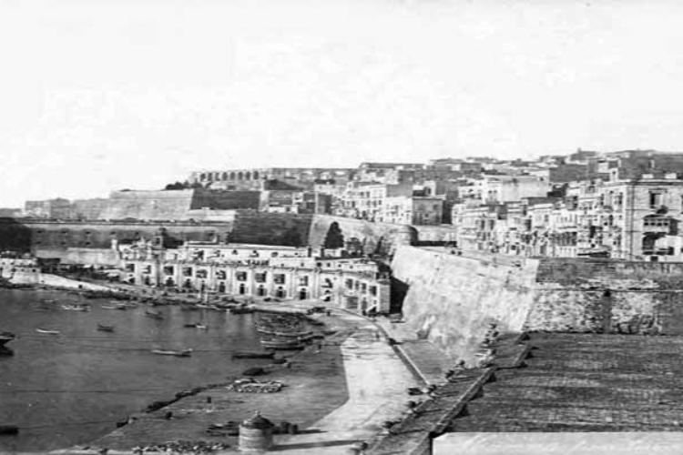
The Order of St John had intended to build a city on the site known as Mount Sceberras long before the actual birth of Valletta in 1566. In 1524, eight Knights who were sent to Malta, had already identified this peninsula standing high between two natural ports as the ideal place for a new fortified city.

The history of the urbanisation of the harbour area begins with its fortification, initiating with the construction of the Castrum Maris in medieval times, providing security to the inhabitants as up to that time there were no coastal defences.
designed and produced by Logix Digital